Water in the Desert: Springs, Tanks & Tinajas of Joshua Tree National Park

Joshua Tree National Park receives an average of four to six inches of rain per year. The Mojave portion of the park — the northern half — gets slightly more than the Colorado Desert to the south. In most years, meaningful rainfall arrives twice: in winter and in late summer monsoon season. The months in between are simply dry.
And yet, life here is extraordinary. Desert bighorn sheep, coyotes, desert tortoises, hundreds of bird species, and the Joshua tree itself — a tree that can live for a thousand years — have all found ways to survive in this landscape. The key is water, and understanding where it hides is one of the most interesting ways to understand Joshua Tree's natural and human history.
The Three Types of Desert Water Sources
Where the Water Is: Key Sites
49 Palms Oasis
One of the park's most striking oases — a cluster of California fan palms growing from a reliable spring on the north side of the Pinto Mountains. The 3-mile round-trip trail climbs through rocky terrain before descending to the palms. Bighorn sheep are frequently spotted here. Water has collected at this spot for thousands of years.
Lost Palms Oasis
The largest group of California fan palms in the park — over 100 palms in a canyon accessible via a 7.5-mile round-trip trail from Cottonwood Spring. The spring at the base of the palms has supported life here since the Cahuilla people depended on it for thousands of years. One of the most rewarding long hikes in the park.
Barker Dam
A concrete dam built in the early 1900s by ranchers to water their cattle, later enlarged by Bill Keys. It creates a small reservoir that, when filled after rain, is one of the best wildlife-watching spots in the park. The short loop trail also passes petroglyphs left by the Serrano people. See our Barker Dam trail guide →
Cottonwood Spring
A reliable spring near the south entrance that has made this area a focal point for both wildlife and human history. The Cahuilla used it, prospectors depended on it, and bird populations still concentrate here — making it one of the best birding spots in the park. Cottonwood trees, which require accessible water, mark its location from a distance.
Twentynine Palms Oasis
The spring that gives the town of Twentynine Palms its name. Just outside the park boundary at the Indian Cove area, this historic oasis supported Serrano people for generations and later became a key stop on desert routes. The palms are still there, marking water that made human habitation here possible.
Tinajas & Potholes
Throughout the park's boulder fields, rock basins of all sizes collect rainwater and hold it for varying durations. These tinajas are critical for bighorn sheep, birds, and small mammals. They're often found on exposed granite faces and can be identified by the darker rock staining at their edges — years of water and algae growth.
How Native Peoples Used Desert Water
The Serrano, Chemehuevi, and Cahuilla peoples who inhabited the Joshua Tree region for thousands of years developed a sophisticated understanding of the desert's water geography. They built their villages near reliable springs, established seasonal routes that moved between water sources, and developed techniques for finding and storing water in ways that sustained communities in a landscape outsiders assumed was uninhabitable.
Reading the Desert for Water
Native peoples in the Joshua Tree region could identify water sources from considerable distance by reading the landscape: concentrations of palm trees or cottonwoods mark springs. Animal trails converging from multiple directions often lead to water. Rock faces with specific staining patterns indicate tinajas that fill reliably after rain. Bird activity at dawn and dusk reveals water sources within their daily range.
Prospectors and settlers who arrived in the late 1800s learned these signs slowly and often painfully. Many of the "discovered" water sources in historical accounts were places Native peoples had known for generations. The springs that made Joshua Tree's mining era possible were identified by people following knowledge that preceded them by millennia.
Water & the Mining Era
Access to water was the central logistical challenge of desert mining at Joshua Tree. Every mine operation required water for processing ore — the stamp mills that crushed rock needed it, the workers needed it, the animals needed it. The geography of water determined where mining could happen and how profitable it could be.
Bill Keys understood this better than almost anyone. His homestead at Desert Queen Ranch succeeded partly because he identified, developed, and protected water sources more systematically than his neighbors. The dam he built at Barker Dam wasn't just for cattle — it was insurance, a stored water supply in a landscape where supply could vanish without warning. His disputes with neighbors were often, at their root, disputes about water access.
Water & Wildlife Today
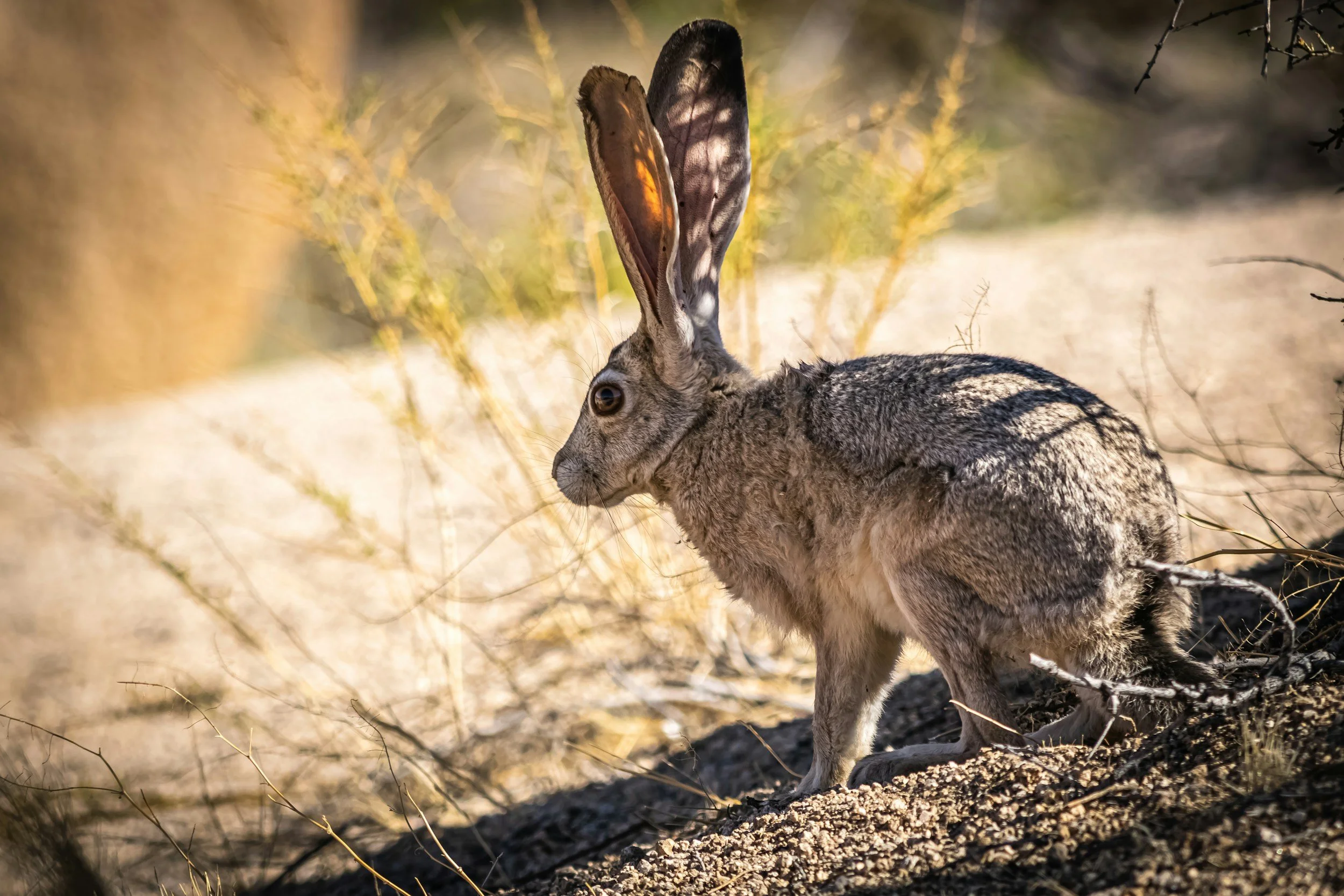
The park's water geography continues to structure its wildlife populations. Desert bighorn sheep populations are organized around reliable water sources — their territories and movement corridors follow the locations of springs and tinajas. Bird migrations through the park concentrate at oases. The palm groves mark water from a distance visible for miles.
- Bighorn sheep are most reliably spotted near Barker Dam, at 49 Palms Oasis, and in the canyon areas near Cottonwood Spring — all reliable water sources.
- Migratory birds move through the park's oases in spring and fall, making Cottonwood Spring one of the best birding spots in Southern California during migration seasons.
- Desert tortoises drink opportunistically when rain falls and can store water in their bladders for extended dry periods — one of the most efficient water-use adaptations in the animal kingdom.
Water Safety in the Park
- There is no potable water available inside most of the park. The visitor centers at Oasis, Cottonwood, and Black Rock have water, but most trailheads and campgrounds do not.
- The NPS recommends one liter per hour of hiking in hot weather. In summer, carry more than you think you need.
- Do not drink from natural water sources in the park without treatment — springs and tinajas support heavy wildlife use and can carry Giardia and other pathogens.
- Fill your water at the visitor center or campground before hiking. Plan your water needs before you leave your vehicle.
Understanding water in the desert changes how you see the landscape. What looks empty and uniform resolves into a map of resources — the palm groves marking springs, the canyon bottoms holding soil moisture, the granite basins catching rain. It's a landscape organized by scarcity, which means every wet spot has a story. Read our full Joshua Tree safety guide →
See the Desert's Layers with a Local Guide
Summit's guides know this landscape intimately — its geology, its ecology, and the stories embedded in every formation. Join us for a guided experience.
Book a Guided Experience