Best Hikes in Joshua Tree National Park: All 10 Trails Ranked
Joshua Tree National Park's trail system spans over 800 miles of desert terrain — but not every trail is worth your time. This guide covers the 10 best hikes in Joshua Tree, from quick family-friendly loops to the park's most demanding summit climb.

Joshua Tree has over 800 miles of trails. Here are the 10 that are actually worth your time.
With 3 million visitors a year and a trail system that ranges from a flat quarter-mile loop to a lung-burning strenuous summit, knowing which hike to pick matters. This guide covers every trail worth knowing in Joshua Tree National Park — with honest difficulty ratings, what makes each one special, and exactly what to expect on the day. Whether you have 20 minutes or a full day, there's a hike here for you. And if you're ready to go beyond a marked trail, Summit Climbing Guides' Adventure Routes take you into terrain no trail map reaches.
All 10 Joshua Tree Hikes at a Glance
Click any trail name below to jump to its full description. All hikes are self-guided and free with a valid NPS park pass.
| Trail | Distance | Type | Elev. Gain | Difficulty | Est. Time |
|---|---|---|---|---|---|
| Hidden Valley | 1 mi | Loop | ~100 ft | Easy | 45–60 min |
| Barker Dam | 1.1 mi | Loop | <50 ft | Easy | 45–60 min |
| Wall Street Mill | ~2 mi | Out & back | ~80 ft | Easy | 1 hr |
| Cap Rock | 0.4 mi | Loop | Minimal | Easy | 20–30 min |
| Skull Rock | 1.7 mi | Loop | ~150 ft | Easy | 30–60 min |
| Arch Rock | 1.4 mi | Loop | 100 ft | Easy | 45–60 min |
| Cholla Cactus Garden | 0.25 mi | Loop | Flat | Easy | 15–30 min |
| Pine City | 4 mi | Out & back | Fairly flat | Moderate | 2–3 hr |
| Split Rock | 2.5 mi | Loop | 150 ft | Moderate | 1.5–2.5 hr |
| Ryan Mountain | 3 mi | Out & back | 1,050 ft | Strenuous | 1.5–2.5 hr |
Easy Hikes in Joshua Tree
Joshua Tree's easy trails punch well above their weight. Most are under two miles with minimal elevation — but they move through iconic desert scenery, boulder formations, and historical landmarks that make them worth every step.
A flat, easy loop to a small reservoir with a surprisingly deep backstory. Cattlemen built the original dam around 1900, and rancher Bill Keys raised it in 1949 — today it's one of the better spots in the park to see birds and the occasional bighorn sheep. Keep an eye out along the way for Native American petroglyphs near the trail.
Early morning is the best time for wildlife. The water at the reservoir attracts birds year-round and bighorn sheep more often than most visitors expect.
Official NPS Page →An easy out-and-back to a genuine ghost-town relic: a gold-processing mill, a weathered homestead, and a scatter of rusted-out vintage cars frozen in the desert air. It's one of the park's best "stumble onto real history" hikes — just look, don't touch, so it's still there for the next person.
The mill itself is remarkably intact. It was built by Bill Keys in the 1930s to process gold ore, and much of the original equipment still stands in the desert air.
Official NPS Page →Short, flat, and over almost as soon as it starts — Cap Rock is the trail to pull off for when you need fifteen minutes among the park's signature monzogranite boulders without committing to a real hike. Interpretive signs along the way cover the desert plant life, and there's a picnic area nearby if you want to make a stop of it.
Named for the distinctive flat-topped boulder that anchors the loop, Cap Rock is also one of the park's most accessible trails — the parking area accommodates larger vehicles and the surface is relatively smooth.
Official NPS Page →Named for exactly what you'd expect — a boulder with eye and nose sockets that really does look like a skull. The loop winds through granite boulder fields and washes and right past Jumbo Rocks Campground. Want more? Pick up the Discovery Trail at the far end and link into Split Rock for a 5–6 mile combined day.
Note: Skull Rock is a landmark, not a campground — the nearest camping is at Jumbo Rocks Campground, about a half-mile from the trailhead.
Official NPS Page →A short, mostly-flat loop built around one showstopper: a natural rock arch that's one of the most photographed formations in the park. On the way you'll pass Whale Rock and a quick side trip to Heart Rock — easy enough for kids, popular enough that the lot fills up fast, so get there early.
The trailhead is located in the White Tank Campground area near Twentynine Palms. This is one of the better hikes on the quieter east side of the park.
Official NPS Page →A flat quarter-mile loop through a dense colony of teddy bear cholla, right where the Mojave and Colorado deserts meet. Gorgeous at sunrise and sunset, and worth a spring visit for the yellow-green blooms — just keep closed-toe shoes on and stay on the trail. "Teddy bear" is false advertising: those spines detach on contact and are genuinely painful to remove.
This is the easternmost stop on most Joshua Tree itineraries, making it a natural first or last stop on a park loop from the Twentynine Palms entrance.
Official NPS Page →
Moderate Hikes in Joshua Tree
Moderate trails in Joshua Tree typically run 2–4 miles with some varied terrain — washes, boulder fields, and mild elevation changes. No technical ability needed, but a reasonable fitness level and proper footwear make a difference.
A fairly flat four-mile out-and-back through a dense stand of pinyon pine and juniper — a different side of the park's plant life than the cactus-and-creosote scenery most visitors see. The trail ends at an old mining site, with plenty of climber-friendly rock formations to scramble over along the way.
No shade and no cell service, so plan accordingly. The trail gets surprisingly little traffic for its quality — one of the better options if you want solitude on a moderate day out.
Official NPS Page →A 2.5-mile loop through washes and boulder fields with the trail's namesake — a giant rock cleaved clean in two — right at the trailhead. Don't miss the short spur out to Face Rock along the way. Split Rock also doubles as a launch point: connect through the Discovery Trail to Skull Rock for a longer 5–6 mile day if you're not ready to stop.
The loop moves through genuinely varied terrain — open desert, boulder clusters, and a wash section that feels a world away from the busier trails on the park's west side.
Official NPS Page →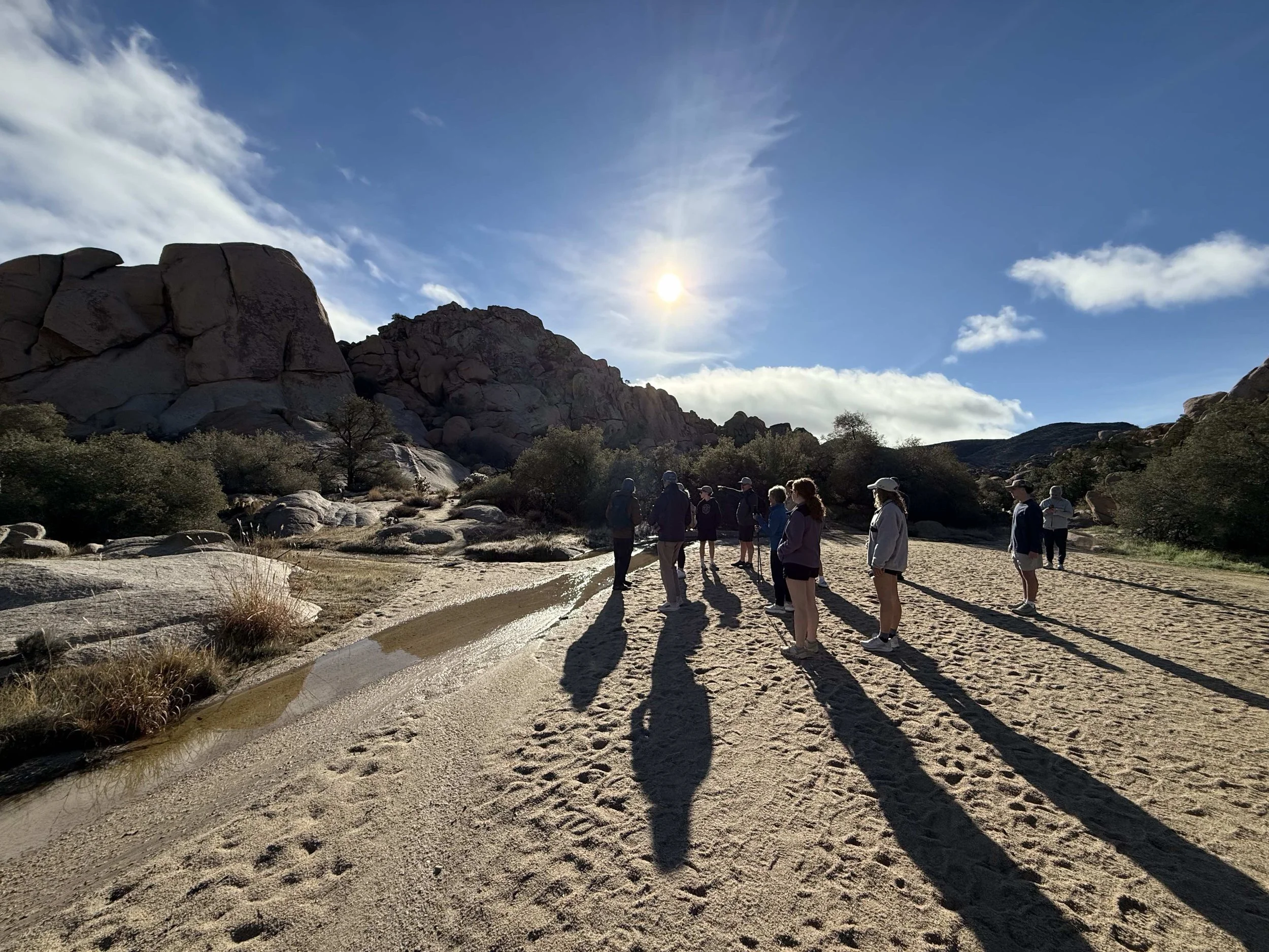

Strenuous Hikes in Joshua Tree
There's only one maintained trail in Joshua Tree that earns a true strenuous rating — but it earns it honestly. If you're after a proper workout and the best views in the park, this is the one.
The flat part doesn't last — Ryan Mountain climbs 1,050 feet in just three miles round trip, and every one of those feet earns you more of the 360-degree payoff at the summit. You can see the Wonderland of Rocks, Lost Horse Valley, Queen Valley, and on clear days all the way to Palm Springs and the Salton Sea. It's one of the most-hiked trails in Joshua Tree for good reason.
There is no shade and no mercy from the sun — this is a cool-morning hike, not a midday one. Start before 8am in spring and fall. In summer, start at sunrise or skip it. Bring at least 2 liters of water per person and trekking poles if you have them for the descent.
Official NPS Page →Summit Climbing Guides' Adventure Routes reach granite domes and ridgeline viewpoints through scrambling and route-finding — no steep trail required. Many of these viewpoints aren't accessible from any marked trail at all. Book a guided route and we'll build the day around your group's fitness and goals.
Hiking Tips for Joshua Tree
Joshua Tree is a desert. The trails are unshaded, water sources are nonexistent in the backcountry, and conditions change fast between seasons. A little preparation goes a long way.
For more detail on what to pack, see our Joshua Tree Camping Guide — it covers gear, seasons, and park logistics in depth.
Beyond the Trail: Guided Adventures with Summit
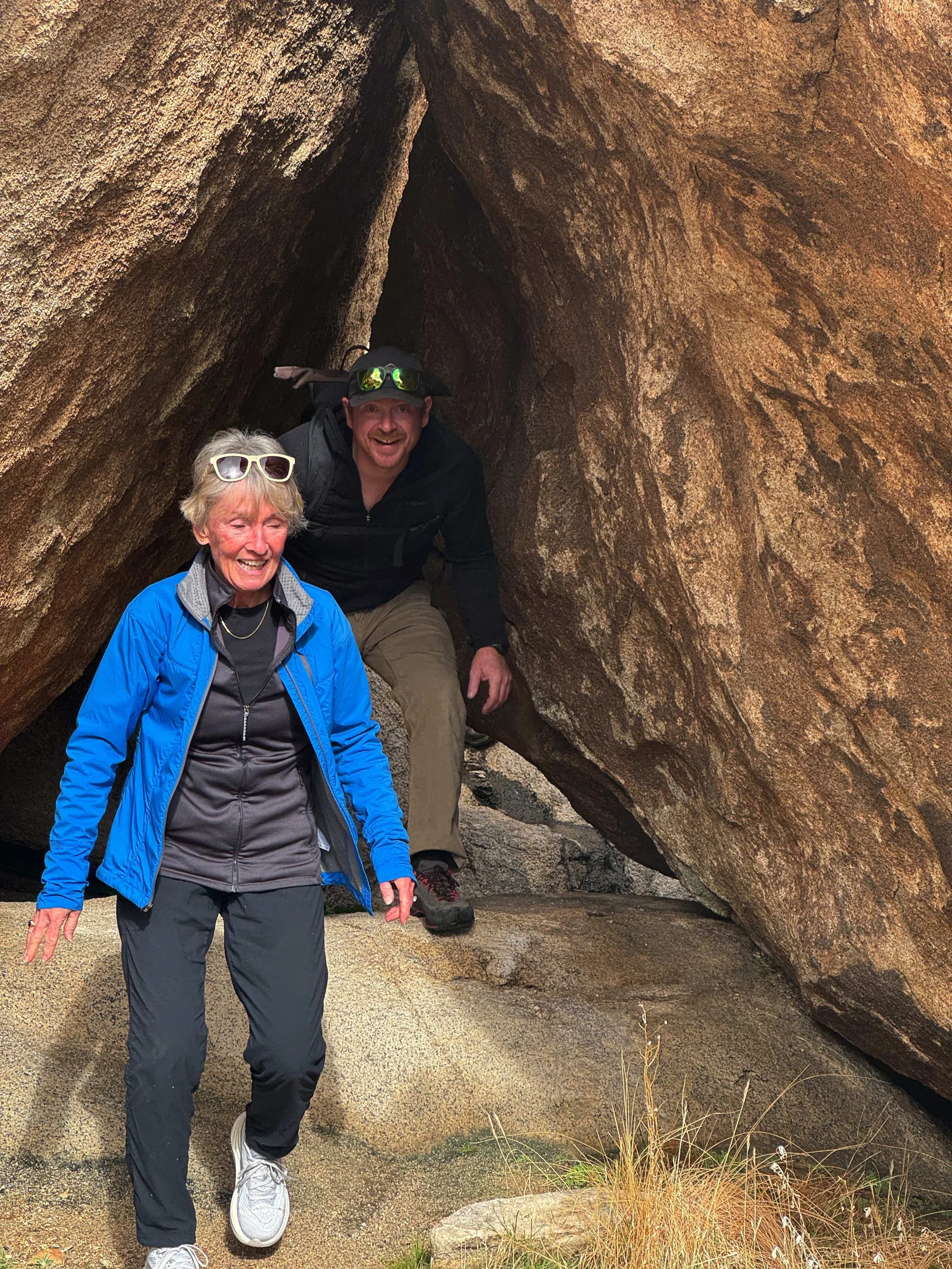
The trails above cover the park's best marked routes — but they don't cover all of Joshua Tree. A significant portion of what makes this park extraordinary is inaccessible from any marked trail: hidden cave systems formed by massive stacked granite, narrow corridors between boulders, summit viewpoints reached by scrambling, and the deep interior of the Wonderland of Rocks.
That's the terrain Summit Climbing Guides operates in every day. Our Adventure Routes are guided backcountry loops that combine scrambling, cave exploration, and summit viewpoints — designed for people who've hiked the trails and want to see the side of Joshua Tree most visitors never find. No prior climbing experience required.
Frequently Asked Questions
What are the best hikes in Joshua Tree for beginners?
What is the hardest hike in Joshua Tree?
What is the most popular hike in Joshua Tree?
Are hikes in Joshua Tree free?
What should I bring hiking in Joshua Tree?
What time should I start hiking in Joshua Tree?
Can I hike in Joshua Tree in summer?
What is the best hike in Joshua Tree for views?