Ryan Mountain Trail Guide: Joshua Tree's Best Summit Hike
Ryan Mountain is Joshua Tree's best summit hike — short enough for a half day, steep enough to feel earned, and capped by one of the finest panoramic views in the park. From the 5,456-foot summit you can see across four valleys, out to the Wonderland of Rocks, and on a clear day all the way to Mount San Jacinto rising above Palm Springs. This guide covers the trail section by section, the best seasons to go, what to bring, and how to get there.
Ryan Mountain Trail Guide
Joshua Tree's best summit hike — a short but steep climb to one of the finest 360° views in the park.
If you only have time for one hike in Joshua Tree, Ryan Mountain is the one. It's short enough to fit into a half day, gains enough elevation to feel like a real accomplishment, and delivers a summit view that catches most people off guard. From the top, you can see across four valleys, out to the Wonderland of Rocks, and on a clear day, all the way to Mount San Jacinto towering 10,000 feet above Palm Springs.
It's not a casual stroll — the climb is sustained from the moment you leave the trailhead, with no flat sections to rest your legs. But it's not out of reach either. If you're reasonably fit and start early with enough water, Ryan Mountain is one of the most rewarding two hours you'll spend in the park.
At 5,456 feet, it's the second-highest peak in Joshua Tree National Park (Quail Mountain edges it out at 5,814 feet), but because of its central location in the park, no other summit gives you quite this perspective on the landscape.
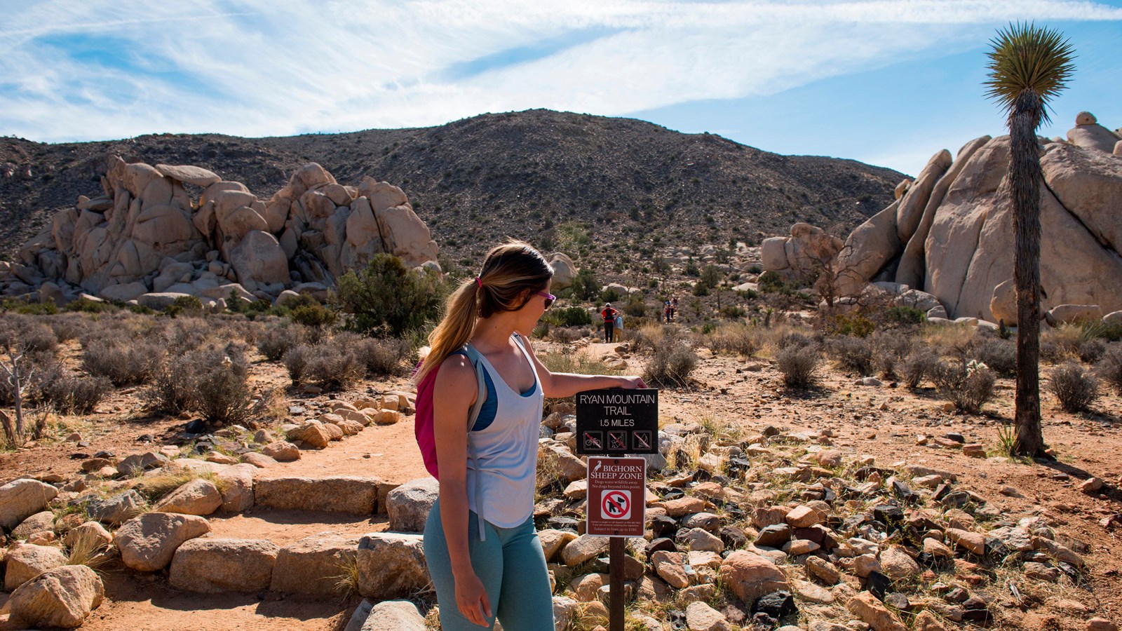
What to Expect
Trailhead → First Boulder Field (0–0.5 mi)
The trail starts climbing immediately from the parking lot — there's no warm-up. Within the first half mile you're winding through a boulder field of ancient monzogranite, the same rock that defines everything in this park. The footing is rocky throughout, so watch your step. Give the cholla cactus some room — those spines are unforgiving.
Ridgeline Ascent (0.5–1.2 mi)
The trail steepens as you gain the ridgeline. There are several sections of natural stone steps built into the slope. Views start opening up to the east and west — you'll get your first glimpses across Queen Valley and Lost Horse Valley. The vegetation thins out and by the upper third of this section you're fully exposed on the ridge with nothing between you and the desert sky.
Summit Push (1.2–1.5 mi)
The final push to the summit is the most exposed section. You'll pass what feels like a false summit — keep going. The actual summit is marked by a small stone windbreak, a reliable landmark that tells you you've made it. From here the view is genuinely 360 degrees. Take your time at the top.
The Descent (1.5–3 mi)
Same trail back. The descent is harder on the knees than the way up — the rocky surface requires consistent attention. Take it slow on the steeper sections. Most people underestimate the descent and rush it; don't. The parking lot comes back into view in the last quarter mile.
What You'll See From the Top
Ryan Mountain sits at the geographic center of the park, which means the summit view covers every direction. On a clear day — which is most days at Joshua Tree — this is what you're looking at.
North
The Wonderland of Rocks — the boulder maze that covers the northwest section of the park. From here you can see why it earned the name.
East
Pinto Basin, the vast Colorado Desert lowland that stretches toward the Pinto Mountains. On clear days you can see out to the Sheephole Wilderness.
South & West
Lost Horse Valley and Pleasant Valley sprawl out below. In the distance, Mount San Jacinto (10,834 ft) rises above Palm Springs — a striking contrast to the desert floor.
Far West
On the clearest days you can pick out Mount San Gorgonio — at 11,503 feet, the highest peak in Southern California — behind the San Bernardino Mountains.
Best Time to Hike Ryan Mountain
Fall — October & November
The sweet spot most visitors overlook. Temperatures are perfect for the climb, afternoon light on the granite is extraordinary, and crowds are a fraction of spring. October is arguably the single best month in the park for any hike.
Spring — March & April
The most popular season. Daytime temperatures are ideal and wildflowers can appear in good rain years. March and April hit the sweet spot — warm enough to enjoy, cool enough to push hard. By May midday is getting genuinely hot.
Winter — December through February
Cold, quiet, and surprisingly beautiful. Snow occasionally dusts the summit — a striking sight with Joshua trees in the foreground. Dress in layers; morning temperatures can drop well below freezing. The best season for solitude.
Summer — June through September
Brutal on this exposed ridge. Midday temperatures regularly hit 100°F+. If you're visiting in summer and determined to do it, start before 6 AM and be back at the car by 9. Bring more water than you think you need. Not recommended.
Tips for Ryan Mountain
Start early — always
Even in fall and spring, this trail is fully exposed from top to bottom. An 8 AM start beats a 10 AM start in every way: cooler temps, better light for photos, fewer people, and parking. On spring weekends the lot fills before 9.
Bring more water than feels necessary
Two liters minimum per person — even for a 3-mile hike. The dry desert air and full sun exposure drain you faster than you expect. In summer (if you insist on going), double that.
Wear real shoes
The entire trail is rocky and uneven. Trail runners or hiking boots are right for this. Sandals and casual sneakers make the rocky sections harder and your ankles will feel it on the descent.
Don't stop at the false summit
About two-thirds of the way up, you'll reach what feels like the top. It's not. The real summit is another 10 minutes beyond it, and the view is meaningfully better. Keep going — you'll know when you've actually made it.
Pair it with Keys View
The Keys View overlook is just 2 miles from the Ryan Mountain trailhead by road. A natural pairing for a half day: hike Ryan Mountain first, then drive to Keys View for a different angle on the same Coachella Valley panorama — especially striking at golden hour.
Getting There
📍 Trailhead
Ryan Mountain Trailhead on Park Boulevard — 2.1 miles east of the Keys View Road intersection. The turnoff is on the south side of the road and is clearly signed.
🚗 Parking
Dedicated parking area with pit toilets. On busy spring and fall weekends, arrive before 9 AM to guarantee a spot. The lot fills consistently during peak season.
🎟️ Entry Fee
Joshua Tree National Park entrance fee applies. The America the Beautiful annual pass ($80) covers entry to all national parks — worth it if you visit more than twice a year.
🐕 Dogs & Rules
Dogs are not permitted on trails in Joshua Tree National Park. No exceptions on Ryan Mountain. Dogs are allowed in parking areas and on paved roads only.
NPS photos used on this page are public domain. Credit: Joshua Tree National Park / NPS.
Want to Go Deeper Into the Park?
Ryan Mountain gives you the view from above. Summit Climbing Guides takes you into the heart of it — guided rock climbing, cave adventures, rappelling, and scrambles through the boulder maze.